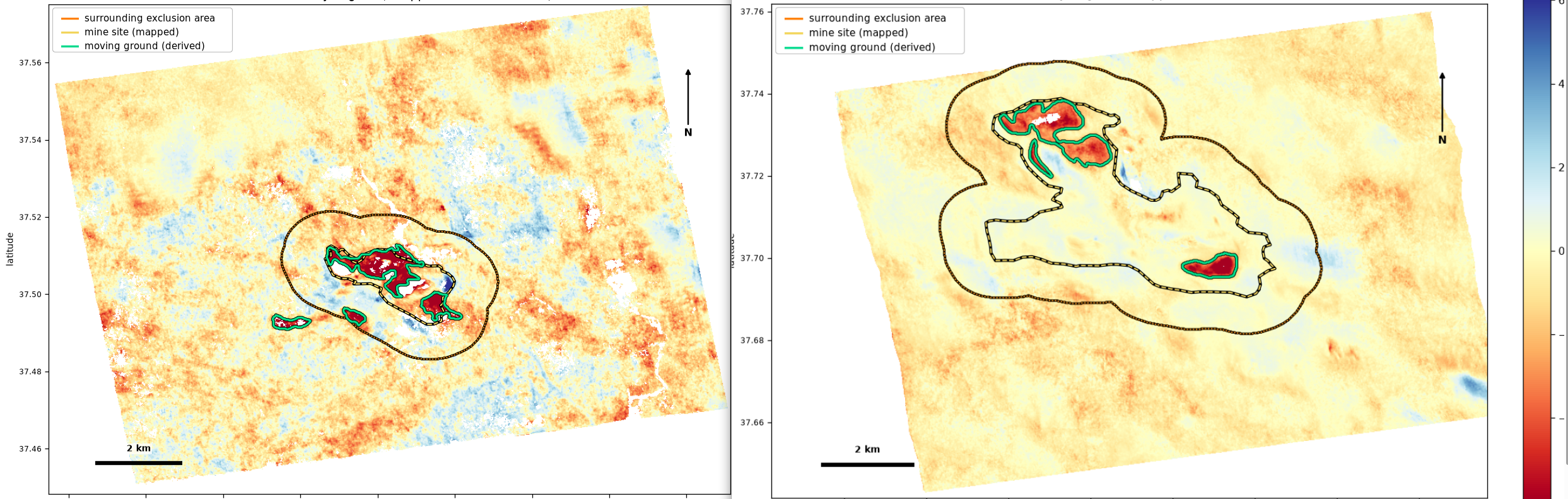
Measuring Ground Motion from Space: Evidence, Context and Limits
A verification-first approach to area-based ground-motion measurement, demonstrated with the same 91 Sentinel-1 passes at two public sites in Andalucia.
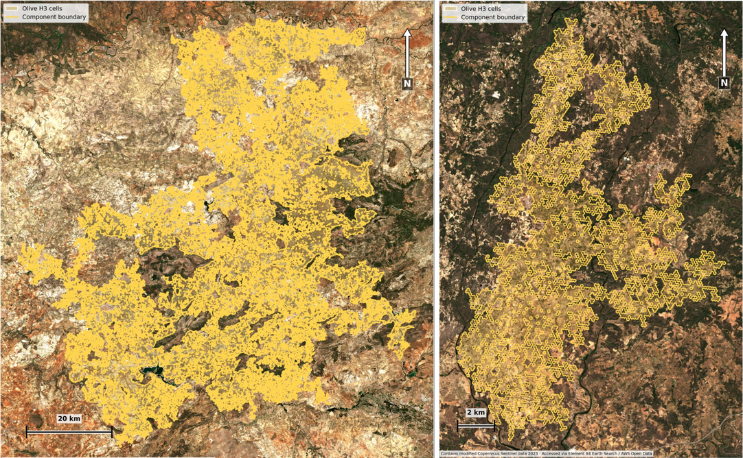
Mapping Olive-Grove Structure with EuroCrops V2 and CHMv2
A field-level olive analysis connecting EuroCrops V2 parcel declarations, H3 landscape connectivity, Sentinel-2 imagery and CHMv2 canopy signals in Spain and Portugal.
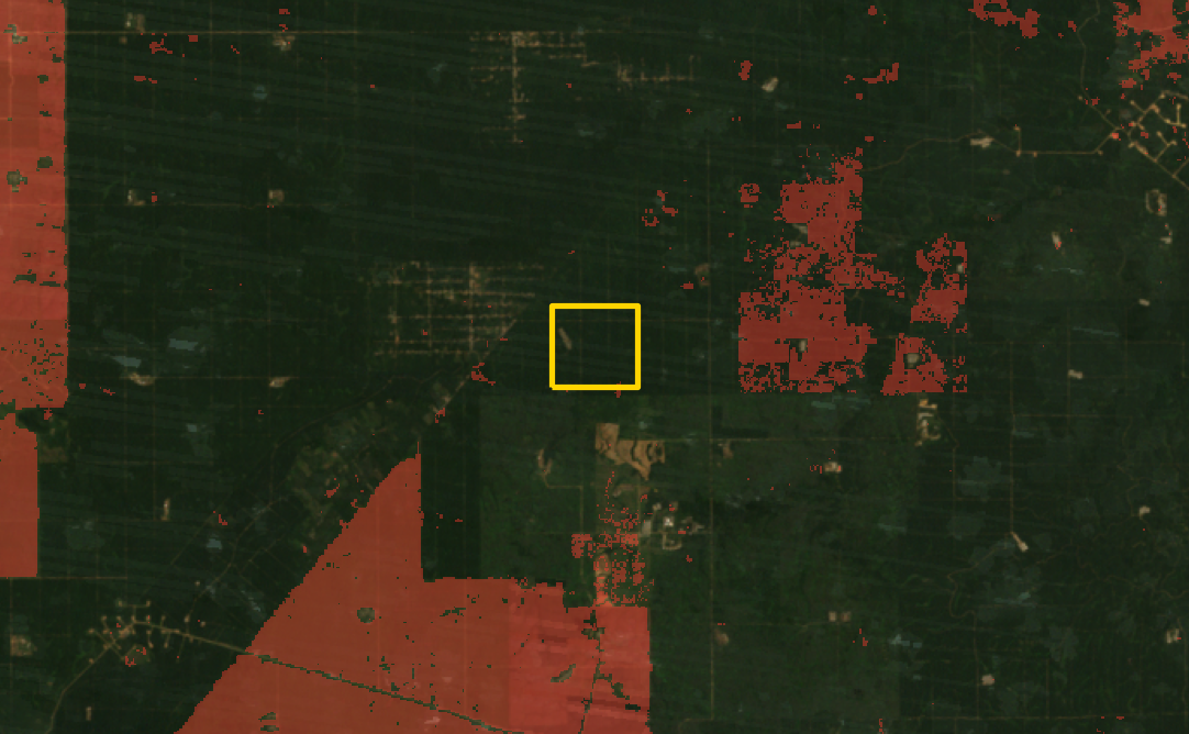
Tracking Palm-Oil Development: Land Change, Palm Counts and Yield
A field-level oil-palm analysis linking historical tree-cover loss, one-metre canopy-height data, individual palm counts and indicative yield estimates.
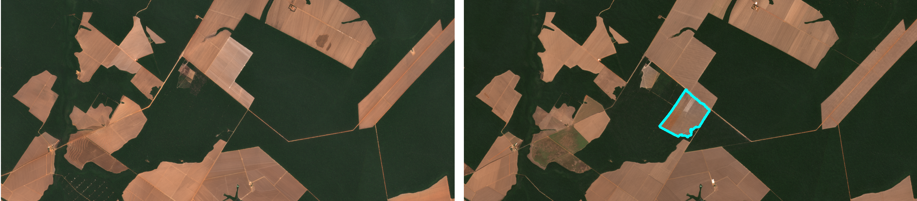
Connecting Forest Change with Soybean Production Potential
A commercial geospatial screening of a clearing field and neighboring agricultural fields.

From Global Crop Grids to Actionable Insight: Soybean, Oil Palm and Olive
A CROPGRIDS use case showing how soybean, oil palm, and olive data can be transformed into interactive geospatial insight.
The World's Biggest Crops and Trees: A Global Statistics Primer
A FAOSTAT-based look at the world's largest field crops and tree crops by harvested area and production, and how the top producing countries shifted over the past decade.
Introducing Monopteryx: Geospatial Intelligence as a Service
Monopteryx.com is a B2B platform for satellite-derived geospatial intelligence: self-service SaaS products launching soon, plus fully customized analyses quoted per use case.
✍️
More articles coming soon
We publish in-depth insights on geospatial intelligence, remote sensing, and risk analytics.